REMOTE SENSING and
AERIAL PHOTOGRAPHY
Roger Wheate
NREM100 Fall 2010
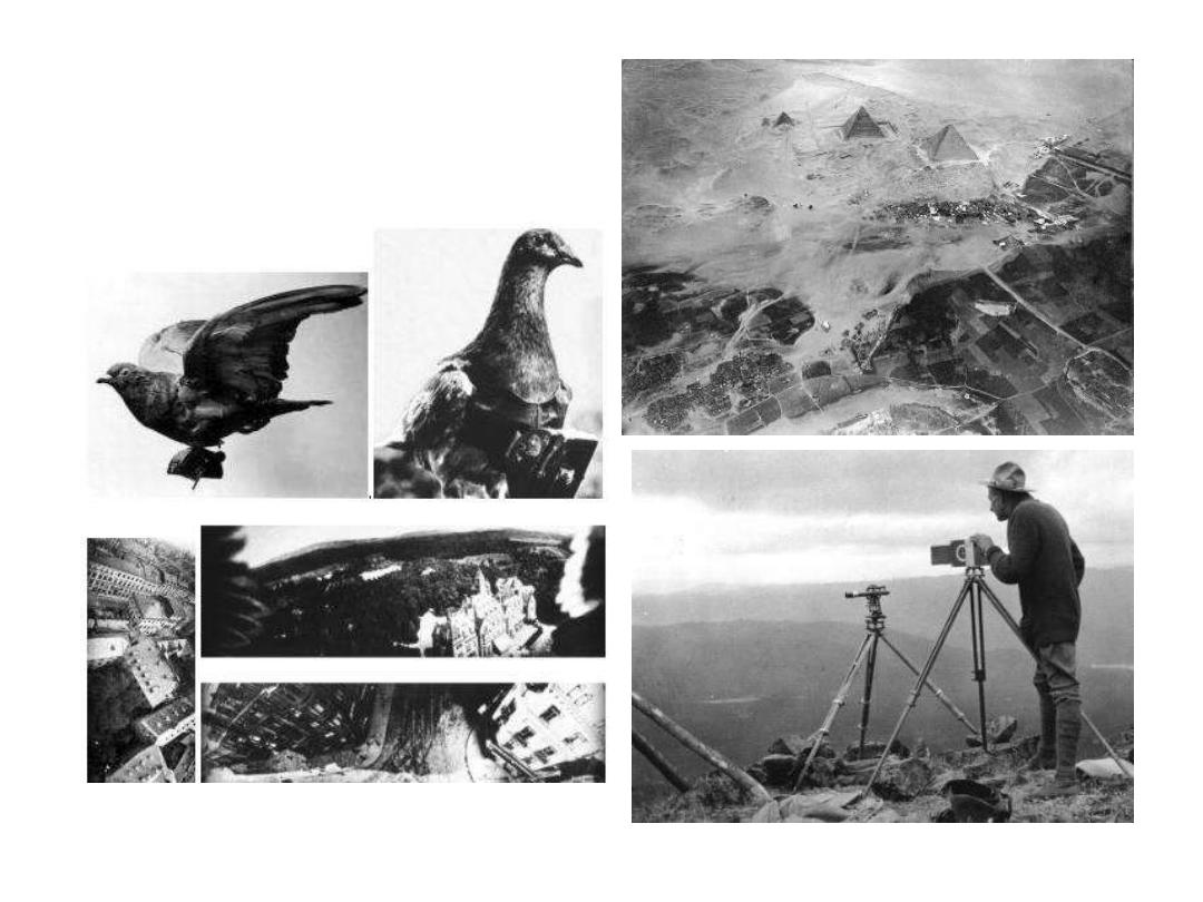
Early aerial photography
(before planes):
balloons, pigeons and
mountain tops
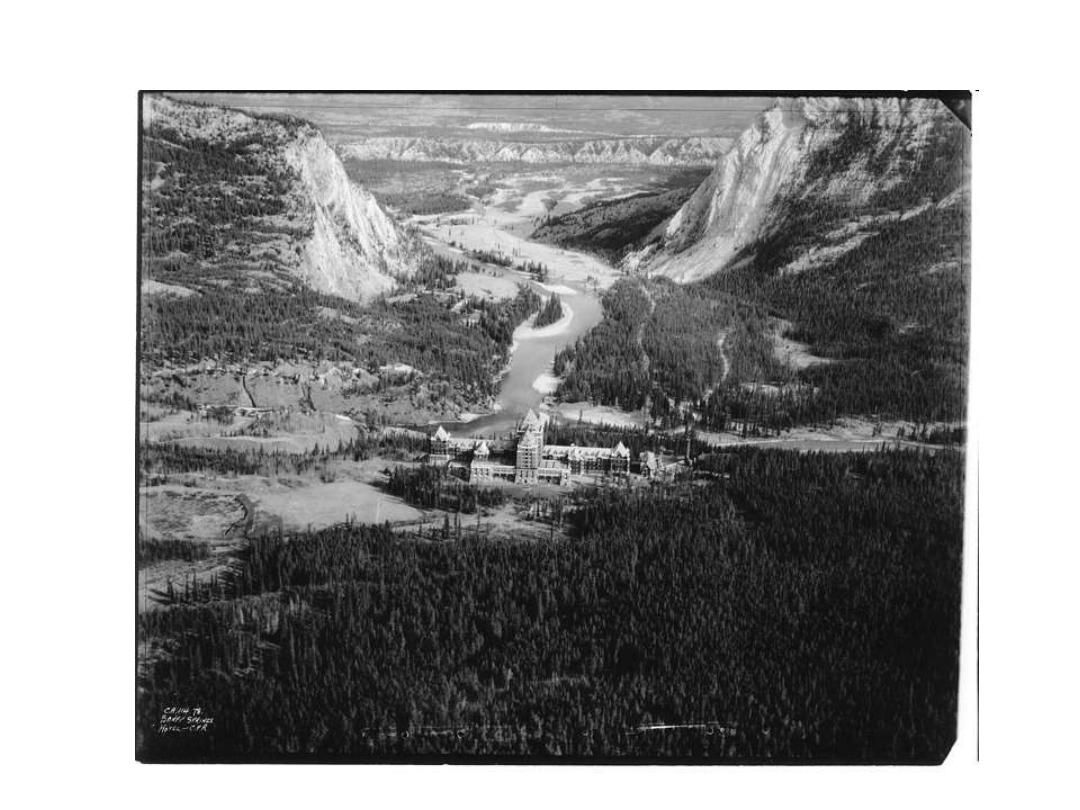
Oblique photos from mountain peaks: Banff
Oblique photography
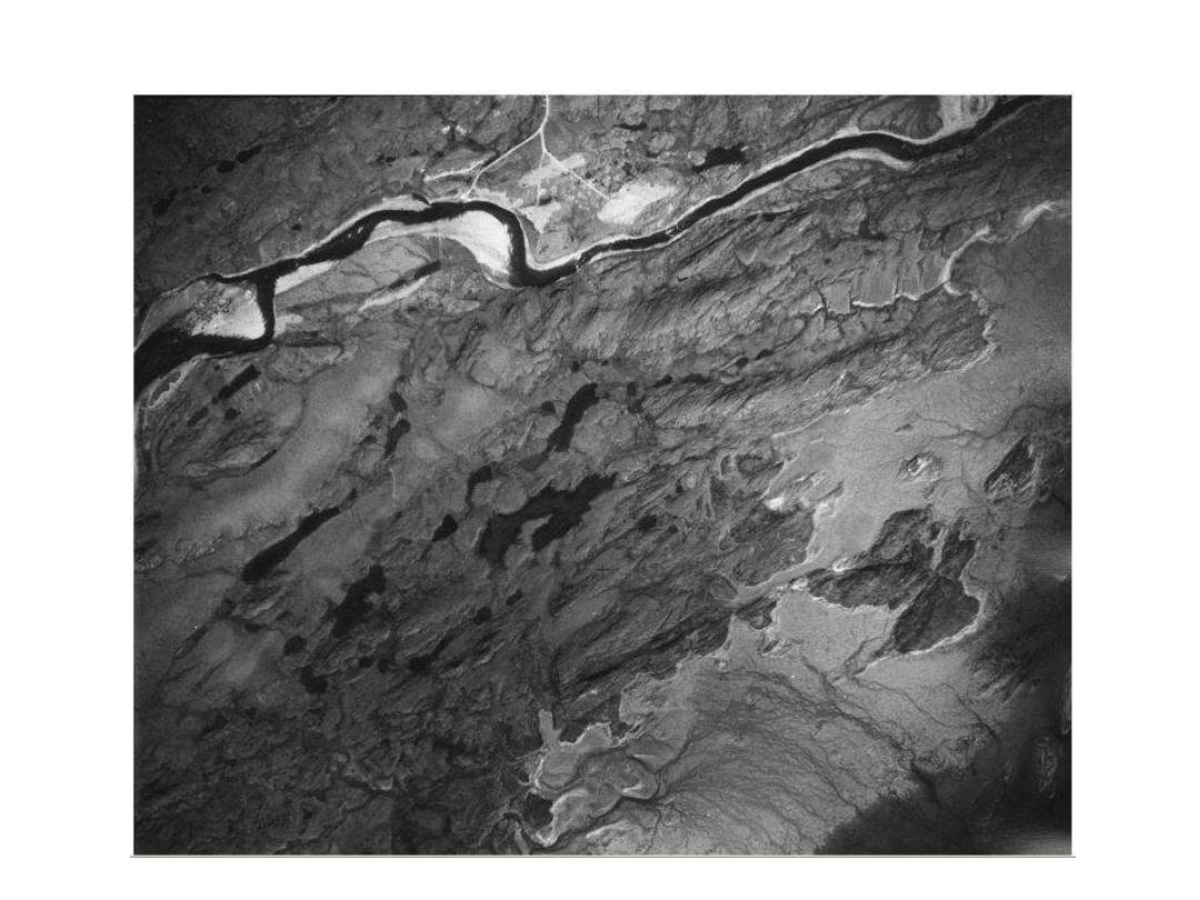
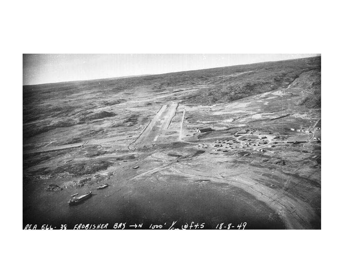
Post-1945: Panchromatic aerial photograph: Iqualuit
Aerial Photography
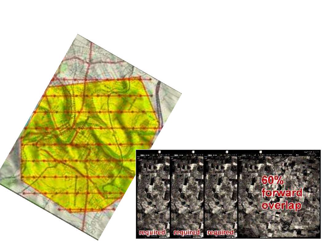
• Aerial photography = two sciences:
– Photogrammetry (=precise locations and heights)
– Air photo interpretation (=feature identification)
• Advantages over ground surveying
– Cost and time-convenience
– Historical record

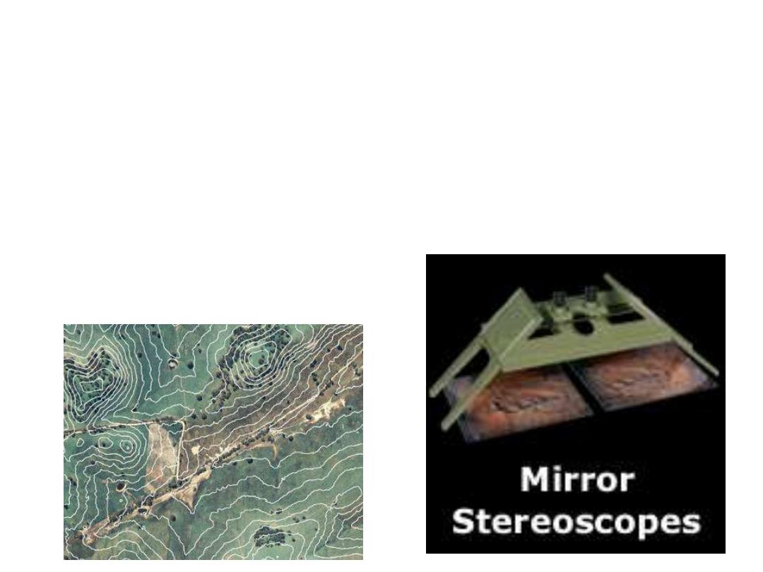
Air Photo Interpretation
• Tone / colour
• Texture
• Shape
• Pattern
• Size
• Shadows
• Context
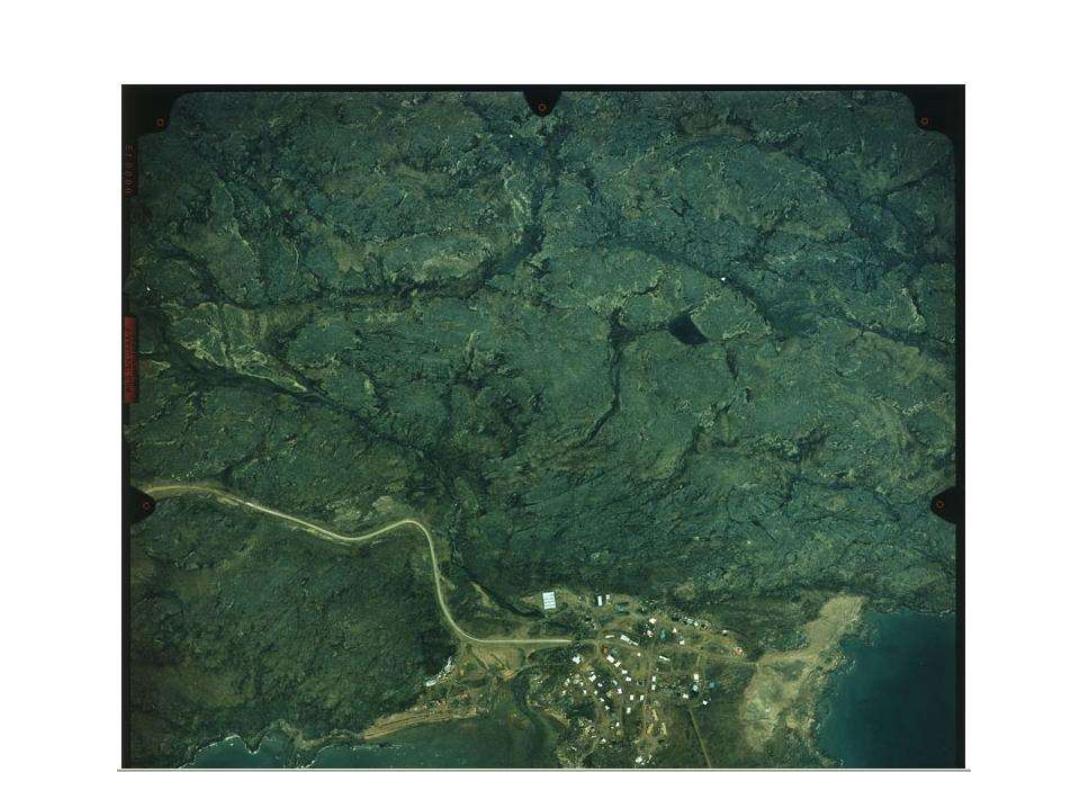
Colour photography
– 2x as expensive
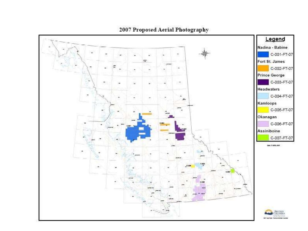
BC aerial photography 2007
Digital aerial photography
www.terrasaurus.ca
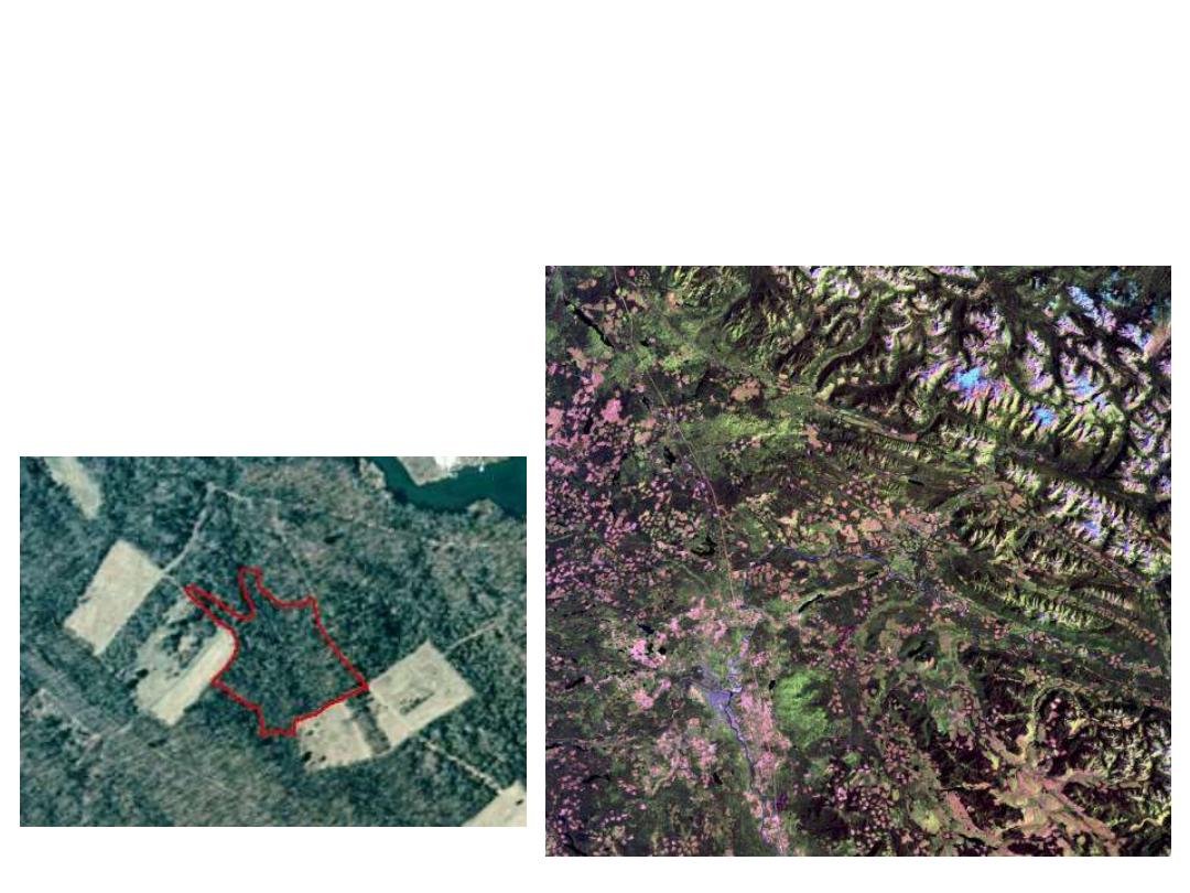
Orthophotos as digital map layers:
1993, 2003, 2006
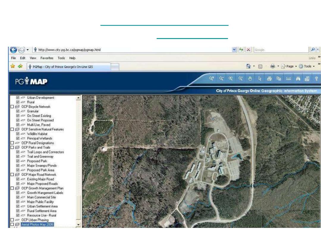
BC ‘imap’:

Applications
• All natural resources disciplines
– Navigation and mapping
– Forest inventory
– Geologic surveys
– Natural hazards
– Land use change
– Wildlife habitat assessment
Photos – 1:15,000 = 4km x 4 km; 1:40,000 = 10km x 10km
Satellite images: 60 x 60 km ; 185 x 185km; 500 x 500 km
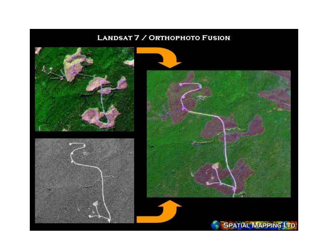
Merge of satellite image and orthophoto
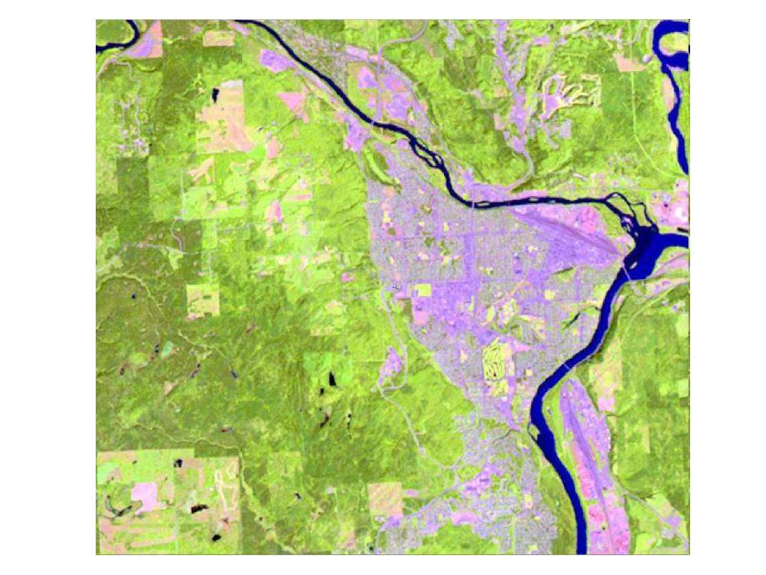
2003
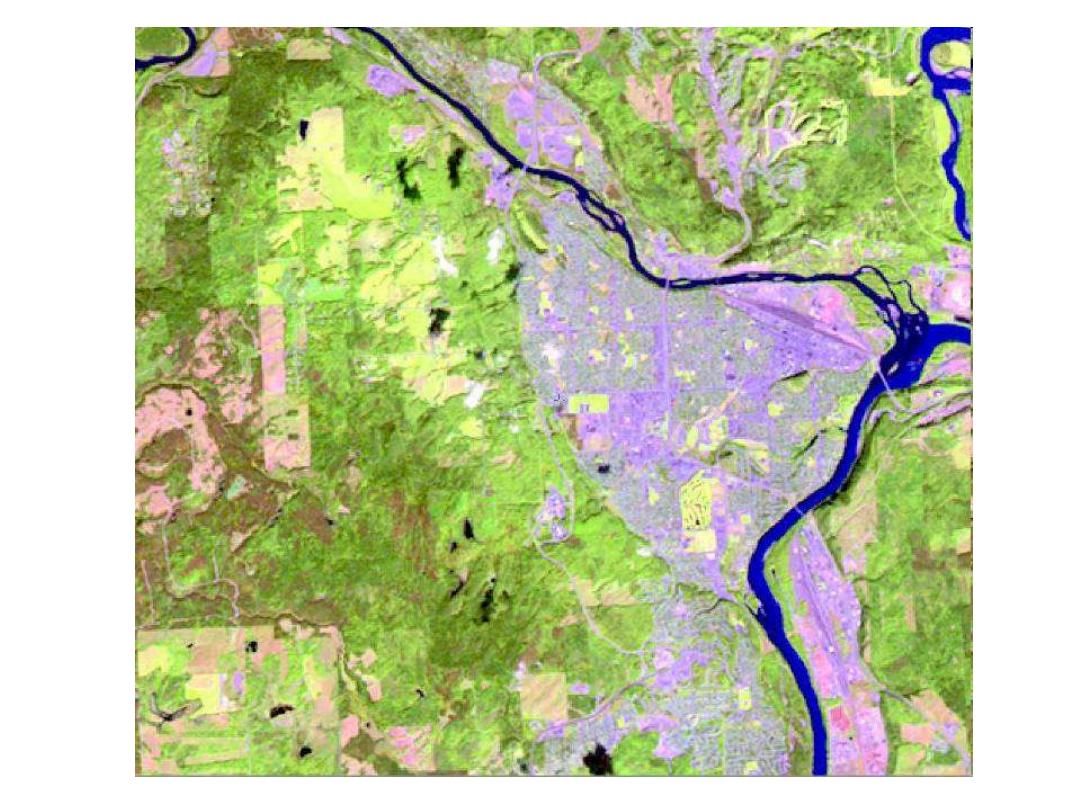
2007
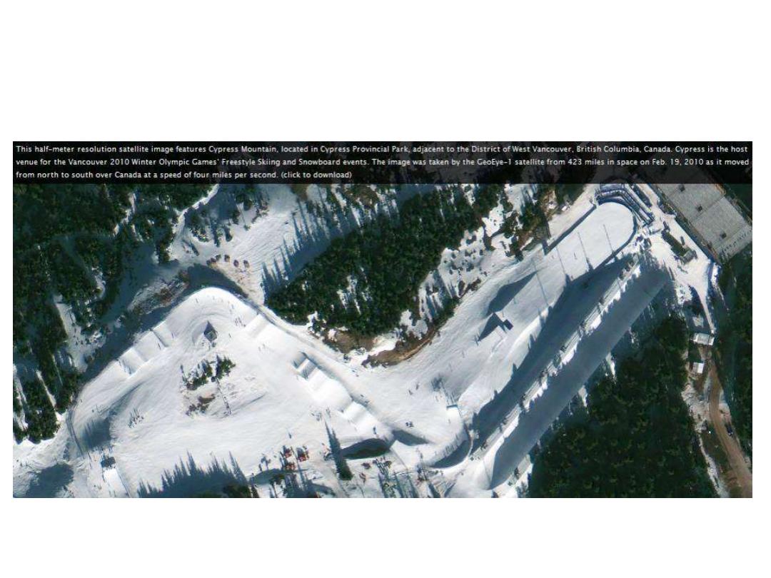
High resolution corporate satellites: Geoeye (50cm res.)
Cypress Bowl – Feb 19, 2010
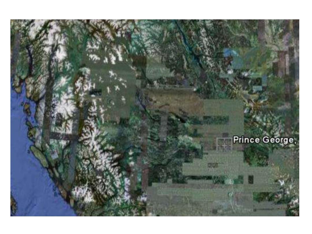
Google Earth (since 2005): aerial photography and satellite images
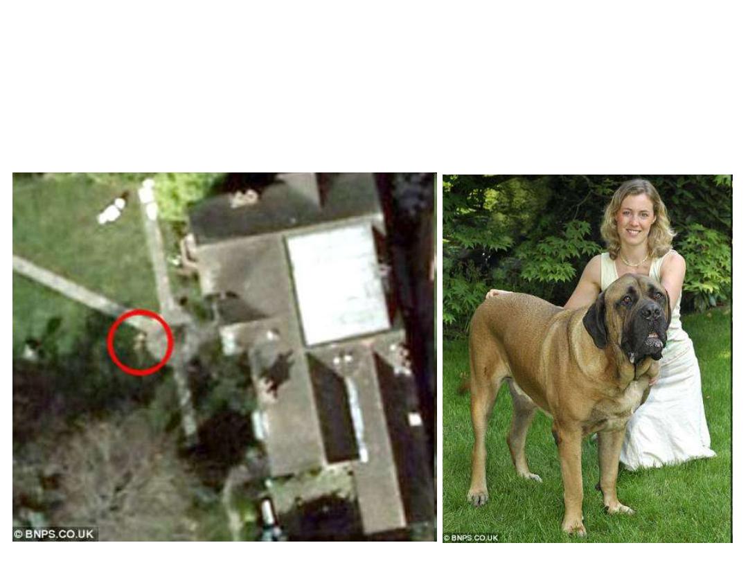
The giant dog you can see from space
Monday, June 9, 2008 BORIS the bull mastiff is so big that he can be seen lounging in his favourite
position in the garden - from space. The 89kg dog has been captured on Google Earth's satellite images.
His owners noticed an enormous brown blob on the image of their front garden and were stunned to
discover it was their pet. 'He was in his favourite place,' said Fran Milner, from Bournemouth.
We knew he was big but didn't think he was big enough to be seen from space.'
Google Earth: aerial photography and satellite images / mashups